Cucamonga Peak area
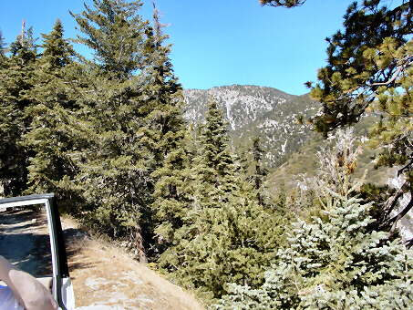
taken while driving on back
road 1N34 above Day
Canyon. October 2002
taken while driving on back
road 1N34 above Day
Canyon. October 2002
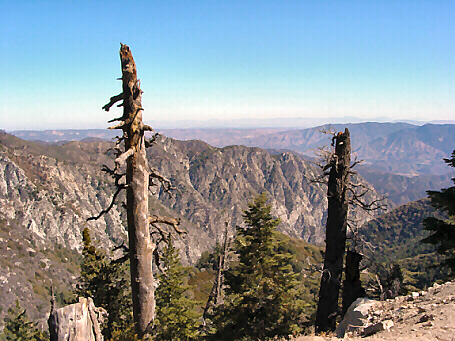
The high desert (Victorville
area) is in the distant upper
part of this picture which
was taken from 1N34 a
little Southwest of Lytle
Creek. The canyon valley
area directly in the lower
front of this picture is the
upper middle fork of Lytle
Creek. October 2002
area) is in the distant upper
part of this picture which
was taken from 1N34 a
little Southwest of Lytle
Creek. The canyon valley
area directly in the lower
front of this picture is the
upper middle fork of Lytle
Creek. October 2002
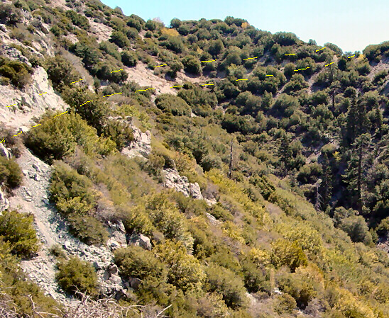
This picture is looking up a
small hill on 1N34 above the
Day Canyon area north of
Rancho Cucamonga. The
dashed yellow lines shows
where the road comes over
the ridge and down the side
of the mountain. On this day,
there was a group of four
Jeeps about .5 miles in front
of us for most of the 25 plus
miles. After driving down this
hill, one can say that driving
from the East end to the
West end of 1N34 is the
best way to go.
October 2002